by D. N. Rassokhin (aka Dima)
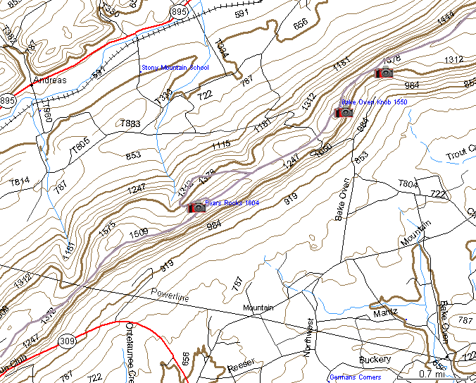
The pink lines on the map are the trails I recorded with my Garmin 12 Global Positioning System receiver while hiking with my dog Alisa.
Click on the camera ![]() icons on the map to see the photos of the places.
icons on the map to see the photos of the places.
To take a look at detailed interactive online topo maps of this area, follow this TopoZone link.
All pictures in this site are digitally watermarked and some of them are copyrighted by Webster Publishing.
Author: D. N. Rassokhin. Last updated: Feb. 08, 2003
Please send comments to Dima.